
Ever-changing – Life by the river
Life by the riverbank
Originally, the Upper Rhine between Basel and Bingen was a strongly meandering waterway made up of a multitude of individual river channels. Each time the river flooded, its banks shifted. Mud, sand and gravel were washed away and deposited at a different location. During the 19th and 20th centuries, almost the entire riverbank was reinforced in order to protect people, their settlements and their fields from flooding.
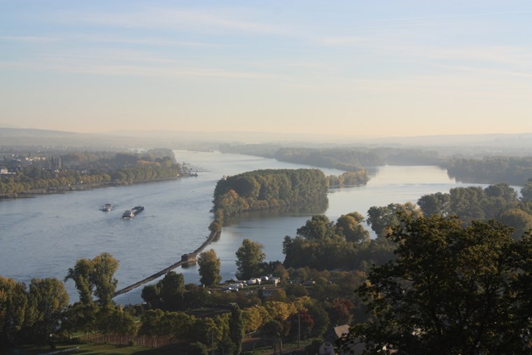 The remaining natural riverbanks on the Rhine and Nahe are subject to constant change caused by flooding. This creates steep riverside embankments as well as flat sand and gravel banks. Many animals and plants find suitable habitats in this dynamically changing environment. Gravel banks and sandy areas that dry out during periods of low water are colonised by short-lived plant species such as the three-lobed beggarticks and the red goosefoot. Specialist waders and aquatic birds such as the common sandpiper and other members of the Calidris genus live in these pioneer riparian vegetation zones. Dried-out gravel beds provide the little ringed plover with the ideal conditions for egg incubation and rearing its young. The Nahegrund, a gravel bank at the mouth of the River Nahe, is one such site. Here, this starling-sized bird lays its perfectly camouflaged eggs in small hollows between the pebbles.
The EU-wide significance of the section of the Rhine between Mainz and Bingerbrück is reflected in its designation as an SAC (Special Area of Conservation) under the EU’s Directive on the Conservation of Natural Habitats and of Wild Fauna and Flora.


